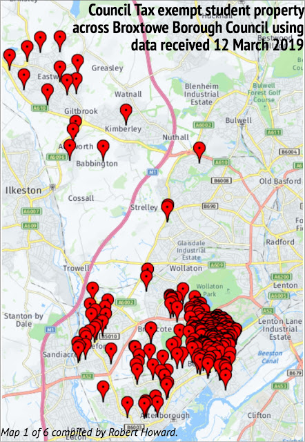
If I can create these maps (and the earlier Beeston HMO Map below) with my very limited I.T. skills then it should be easy enough for others to do it better than me. For now I publish my maps without comment (click on a map to enlarge):
At best the data has to be taken as a guide and needs more attention than I can presently give it. Compare the map of Beeston council tax exemption properties above with the map of Beeston HMOs below. Broadgate (pin showing 10) and Low Road (pin showing 14) in particular. This may a case of where multiple entries for the same postcode do not show up on the council tax exempt map — in other words my council tax exempt property map for Beeston should have more 'pins' than it does.


No comments:
Post a Comment