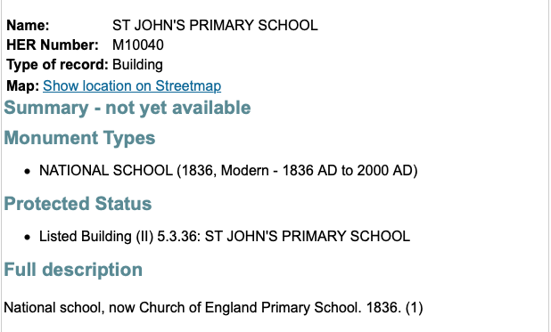
The list is being compiled from various sources, including Historic England's website. Here are entries I have captured from there Nottinghamshire section of the online Historic Environment Record. It is not a complete list but you can argue that it is the best there is. Beeston Civic Society have some entries they would like to see added, as have I and these will be listed at some point in the near future and included on the Beeston Hidden History Map for Beeston I mention above. As you can see it includes entries for the surrounding areas of Attenborough, Bramcote, Chilwell, Stapleford and Toton. If you visit the individual entries, you will find more data, including links to photographs and maps.
What I provide is nearly all* the Nottinghamshire Historic Environment Record entries (133) at a glance without the need to click on every list entry unless you want more detail (* I have not included archaeological finds except for one relating to Regent Street in Beeston (the last entry in the list below).
Finally, the entries below show a link location. This does not work because it is a captured image. To see the map you need to visit the online entry via the actual record entry — not my captured copy.


No comments:
Post a Comment